
Lawndale Neighbors by Block: Start With Sources
A search for Lawndale neighbors works best as a block evidence map, not as a single name result. The Assessor map identifies adjacent parcels. The online parcel page supplies physical and tax facts but suppresses owner names. A counter or authorized data route may answer the title question. Voter records have a restricted purpose, directories show listed occupants, and civic groups publish contacts rather than a household census.
| Source | What It Shows About a Block | Access |
|---|---|---|
| Assessor GIS / PAIS | Parcel outlines, adjoining AINs, map sheets, and recent sales | Free map; owner name hidden online |
| Assessor Portal and counter | Parcel facts online; current owner and mailing detail through proper channel | AIN or address web search; counter or data product for owner |
| Lawndale permit archive | Projects at street numbers, applicants, contractors, work, and dates | City archive; CPRA request when needed |
| Restricted voter file | Registrants by address or precinct for an approved purpose | Not a public street browser |
| Historic address directories and census | Listed occupants and households in earlier years | Selected directories; public census through 1950 |
| Civic organizations | Public contacts, meetings, activities, and community participation | Public pages or organization contact; not a member roster |
These sources answer different neighbor questions. A parcel can be next door without sharing a title owner. A title owner can receive mail elsewhere. A civic contact can represent a public group without naming its members. Label each result by source, date, and role before using it in a Lawndale block note.
Lawndale Parcel Edges and Adjacent AINs
The adjacent-parcel method starts with one known address and walks outward. The Los Angeles County Assessor map links the address to parcel geometry, while the Assessor Portal supplies the AIN and situs facts. The map can reveal the next lot, but the owner name remains a separate access step.
- Locate the starting parcel. Search the address or AIN, check the situs, and open Map Search.
- Turn on the block layers. Display parcel outlines, streets, community or city boundaries, and recent sales when useful.
- Identify each neighbor parcel. Pan along both sides of the block and click or identify each adjoining polygon. Record every AIN and situs.
- Separate parcel from person. Use the Assessor counter for owner information when a lawful purpose permits it. Do not infer a household from a polygon, exemption indicator, or mailing destination.
- Switch scope when needed. For the full named-street chain, use the Lawndale by-street address records workflow rather than treating a block map as a whole street directory.
The flow is address → AIN and situs → adjoining parcel outlines → owner channel → permits, deeds, voter limits, or historic occupants. Compare neighbors only after each parcel has a source and date. AINs keep the map precise when several Lawndale parcels share a street number or a multi-unit structure.
Lawndale GIS Layers: 24-Month Sales
Lawndale’s parcel map has more than a boundary line. Map Layers can show parcels, recent sales, streets, city or community boundaries, and aerial years. The Identify or image tool opens details for a parcel or colored recent-sale polygon. Recent-sales colors represent activity within 24 months and distinguish property-use classes. That time window is a map layer, not a claim that a sale proves a neighbor’s identity or current residence.
Three update clocks can matter on one Lawndale block. Parcel display updates annually around roll release. Parcel detail is generally weekly, except during the July through late September roll freeze. Maps and recent sales are usually weekly. Record the date and layer state when a comparison of neighbors matters, because a parcel outline and a detail screen may not refresh together.
Lawndale covers only 1.97 square miles and had 31,807 residents in 2020. That compactness makes a parcel-by-parcel walk feasible. It also increases the chance that a single number contains multiple units or that two similar names sit on nearby lots. Capture units, legal description, and AIN before moving from a map question to a person question.
Note: A 24-month recent-sale symbol shows map activity, not a complete ownership or occupancy history for the block.
Lawndale Owner Names Need a Counter Check
The Assessor Portal shows a rich set of parcel facts but intentionally suppresses owner names online. A current owner may be available in person at an Assessor district office or through a purchased data product. A mailing address can differ from the physical situs because correspondence may go to a trust, a management location, or another destination. The mailing field is not a substitute for a household observation.
Exemptions and owner-occupancy clues need the same care. An exemption indicator can support a lead, but its presence or absence does not prove who lives in a Lawndale parcel. Owner occupancy is only 37.0% in the 2020-2024 estimate, so title records cannot represent most local households. The block method should preserve that distinction instead of calling every parcel owner one of the neighbors.
For a current title question, capture the AIN and legal description, ask the county about the lawful access channel, and then confirm the deed through RR/CC. The Recorder’s real-estate records are indexed by grantor, grantee, and recording year, not by address.
Lawndale Voter Rules at Block Level
A voter record is not a directory of neighbors. The LA County voter verification form requires a last name, full birthdate, house number, and five-digit ZIP. It is designed for a person to check a matching registration, not for someone to enter a street and browse names. A nonmatch can reflect changed registration, a protected record, an input error, inactivity, or no registration.
California Elections Code section 2194 limits voter-file access to approved governmental, election, scholarly, journalistic, or political purposes. Sensitive identification and signature fields stay confidential, and Safe at Home participants receive additional address protection. A full county file requires a stated authorized purpose. The posted route lists $146 for a countywide CD, $54 for a precinct, district, or city file, and $39 for an additional file; confirm the current fee and eligibility before requesting.
The Recorder and elections contact route gives the county channel for questions about self-verification, file eligibility, and counter assistance.
The Los Angeles County elections contact page is the official starting point for voter and Recorder questions that arise during a Lawndale neighbor search.
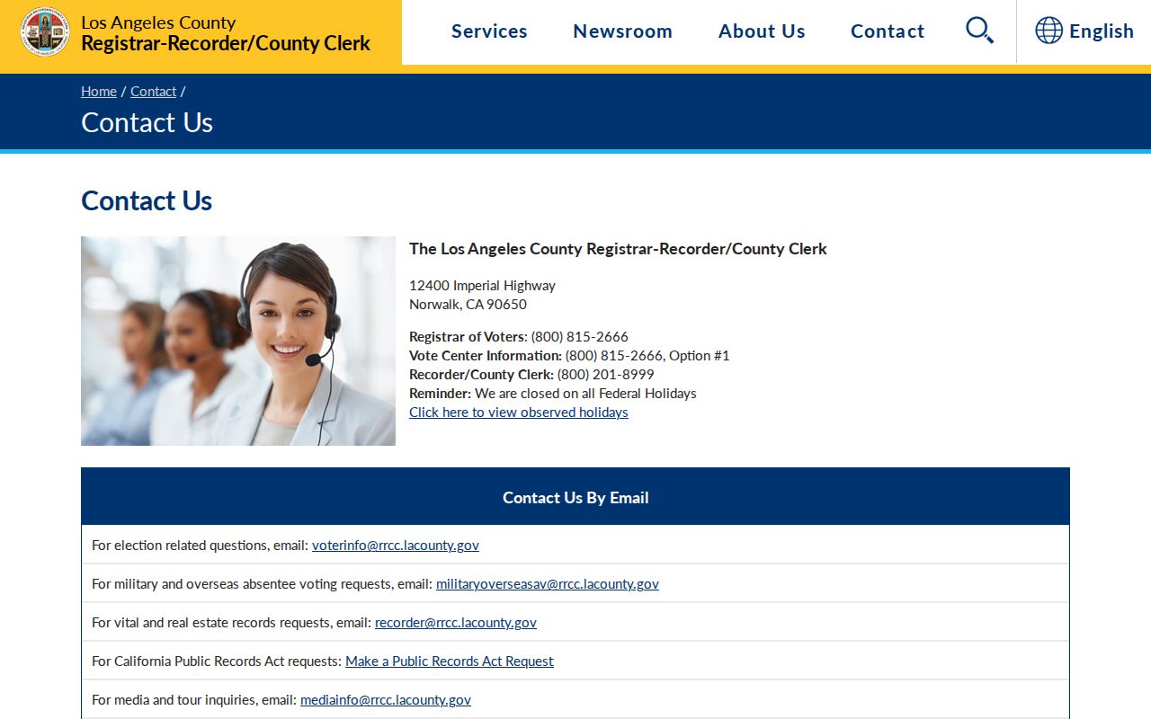
The contact path helps keep a block lookup within the self-check and approved-file rules instead of turning a voter system into a public browser.
El Camino Village Neighbors Need GIS-NET
90260 crosses a jurisdiction line. Parts of unincorporated El Camino Village share the Lawndale postal ZIP even though the community historically did not receive Lawndale city services. El Camino Village is roughly 314 acres, built out, and within the City of Lawndale’s sphere of influence. A postal city line cannot tell someone researching Lawndale neighbors which agency holds a permit or code file.
LA County GIS-NET accepts an AIN, address with city or ZIP, or intersection and adds community bookmarks, layer queries, buffers, tract and parcel maps, measuring, reports, export, and print. Its unincorporated focus makes it especially useful for the El Camino Village side of a 90260 block. Incorporated Lawndale parcels should be checked against the City boundary and routed to City channels.
The Lawndale General Plan context report documents the sphere and ZIP relationship. Run the jurisdiction test before calling a civic contact a Lawndale agency or sending a records request to the wrong office.
Lawndale Civic Contacts Are Not Household Rosters
There is no authoritative Lawndale-wide roster of neighborhood associations with public member directories. Public civic contacts are still useful for learning about meetings, programs, and community history, but they do not identify every household on a block. Friends of Lawndale Library is a verified local civic organization. City Council, Parks and Recreation, advisory bodies, Neighborhood Watch or LASD meetings, and school PTAs can provide public contact paths.
| Contact layer | What It Can Show | What It Cannot Establish |
|---|---|---|
| Friends of Lawndale Library | Public organization contact and library support activity | Every library user or nearby household |
| City Council and commissions | Public meeting agendas, appointments, and speakers | A neighborhood membership list |
| Parks and Recreation | Programs, facilities, and public activity contacts | Who lives beside a park |
| Neighborhood Watch or LASD meetings | Public safety meeting information and agency contact | All residents or private reports |
| School PTAs and district archives | Public institutional contacts and meeting records | Student or family records |
| Local history library help | Newspapers, directories, databases, and research assistance | A current neighbor census |
The Lawndale Library is the verified local research contact for Daily Breeze and Los Angeles Times access, databases, public computers, and reference help. Neighbors can find a public meeting or research lead there, but civic participation may document a person’s public role, and it should never be rewritten as proof of a private address.
Lawndale Associations, CC&Rs, and Private Members
Some Lawndale parcels belong to a subdivision or association with recorded covenants, conditions, and restrictions, commonly called CC&Rs. Recorded CC&Rs or California Secretary of State entity filings may identify an association name or agent. They do not make a member list public. Association records, like household records, must be treated as a private layer unless a custodian lawfully releases a specific public record.
When a public city record may clarify a meeting, permit, or civic issue, use the Lawndale City Clerk CPRA route. A focused request identifies the custodian, record type, address or organization, date span, desired electronic format, and segregable nonexempt portions. California’s CPRA process generally calls for an initial determination within 10 calendar days, with unusual circumstances allowing up to 14 additional days.
The California Public Records Act request FAQ explains the statewide request framework. It does not turn a private association into a public directory.
The California CPRA FAQ is the official reference for a focused records request about a public civic matter.
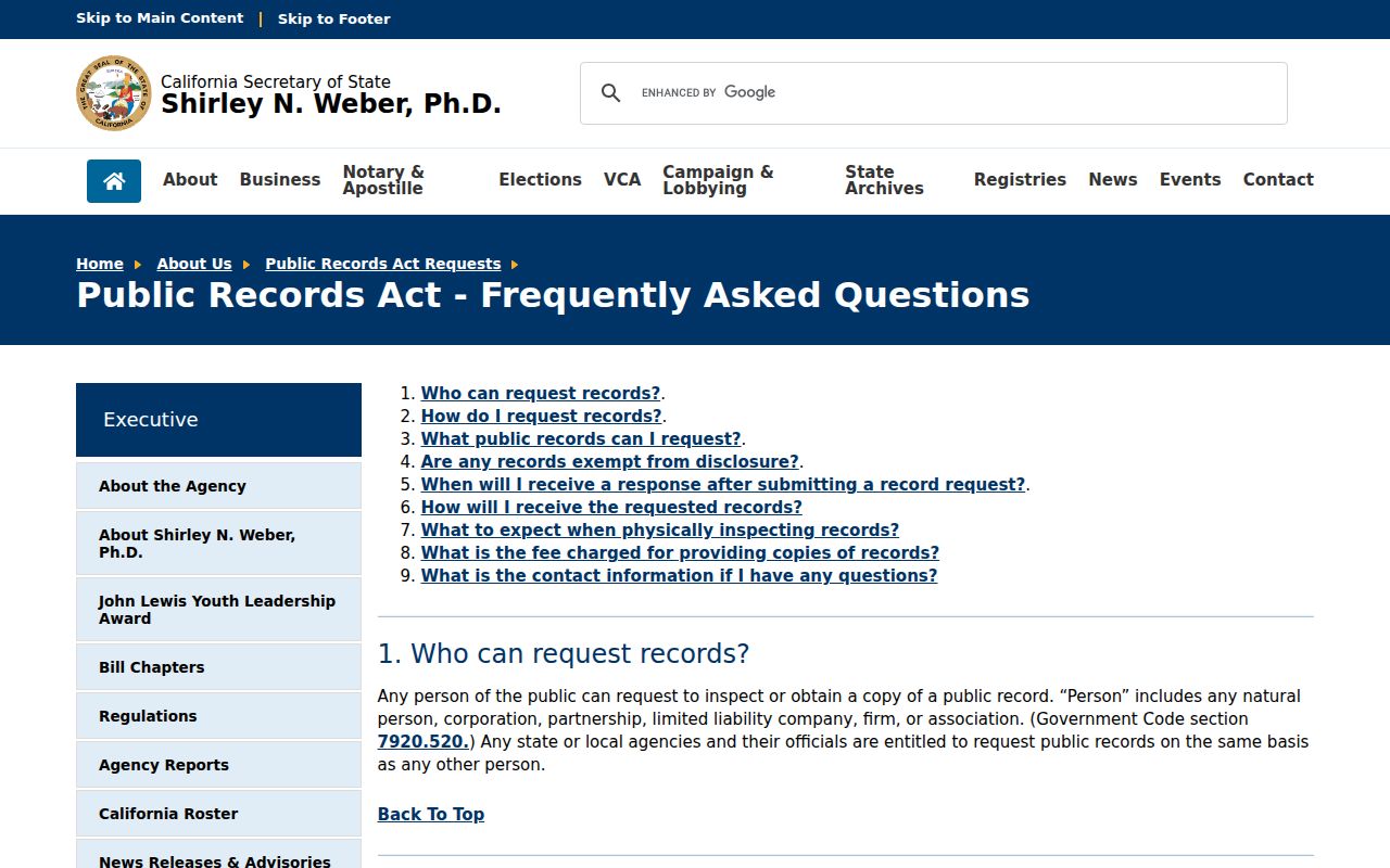
A request should seek an existing record, not ask staff to create a neighborhood roster. If an exemption applies, ask for segregable portions and the citation supporting the withholding.
Lawndale Official Records Versus Compiled Neighbor Tools
Official sources are narrower, but their limits are visible. Compiled neighbor tools may merge public records with marketing data or inferred links. They can be stale, omit context, or join two people with similar names. Use the category only as a lead, then return to the custodian, parcel, case, directory, or civic record that can be checked.
| Category | Useful Strength | Key Weakness | Best Lawful Use |
|---|---|---|---|
| Assessor GIS and parcel roll | Precise parcel geometry, AIN, situs, and physical facts | Owner hidden online; no household list | Map a block and verify parcel identity |
| Recorder instruments | Recorded parties, transfer dates, and legal descriptions | Name and year index; no web address search | Trace title for a defined parcel |
| Directories and census | Historic occupants and household context | Selected years, omissions, OCR, and old boundaries | House history and genealogy |
| Compiled neighbor category | May surface a lead across several public sources | Stale, merged, inferred, or costly information | Check the official source; do not treat as proof |
PACER belongs only when a known federal case or docket matters to a parcel, organization, or named civic issue. The official PACER portal provides federal case and docket access; it does not provide a neighborhood roster or a list of people living near an address.
The PACER access page shows the proper federal court route when a specific case, not a general neighbor search, is relevant.
Keeping the category distinction clear protects both accuracy and the people whose names appear in public records for a limited reason. A compiled result may suggest neighbors, but only a cited source can support the specific claim.
Lawndale Neighbor Privacy and Safe Use
A block map does not expose utility customers, delivery records, DMV addresses, all household members, or protected substitute addresses. California voter information is restricted by Elections Code section 2194. DMV information is protected by the federal Driver’s Privacy Protection Act, 18 U.S.C. sections 2721-2725. California Safe at Home supplies a substitute mailing address for eligible survivors and protected groups, but it does not erase older public documents automatically.
California privacy law also gives covered consumers rights to know, delete, correct, and limit certain data uses, subject to exceptions. DROP, the state’s single-request data-broker deletion service, opened in 2026. Removing a broker profile does not delete a deed, court file, parcel map, or other government record that was lawfully made public. Do not try to rebuild a protected address from another source.
Research about Lawndale neighbors can serve a personal safety question, family reconnection, genealogy, or civic curiosity. It cannot justify following, threatening, impersonating, or pressuring a person. If a public record suggests identity theft, use the official IdentityTheft.gov recovery route and the proper agency contact rather than confronting a neighbor.
The IdentityTheft.gov recovery guidance is the appropriate federal route when a Lawndale neighbor lookup raises a genuine identity-theft concern.
Lawful use. Lawndale neighbor records are for focused, lawful personal and civic research. Do not use a parcel, voter, civic, court, or directory clue to stalk, harass, intimidate, or harm anyone.