
Lawndale Street Directory: Start at the Address
A useful Lawndale street directory begins with the physical address and keeps each record role separate. The Los Angeles County Assessor connects a situs address to an Assessor Identification Number, or AIN, and parcel facts. The Assessor web display intentionally leaves out the owner name, so a current title owner may require an in-person district-office visit or an authorized data product. The Recorder then searches that name as a grantee, while the City permit archive stays keyed to the address. Voter verification and historic directories add person or household clues, but neither creates a complete list of everyone at a Lawndale property.
- Normalize the address. Keep the street number, direction, suffix, unit detail, ZIP, and older name forms. Check whether the postal line is truly inside incorporated Lawndale or in the unincorporated El Camino Village area that also uses 90260.
- Turn the address into an AIN. Use the Los Angeles County Assessor Portal by AIN or address. Save the situs, parcel type, use, legal description, values, units, physical details, exemption indicator, and recent-sale information. Do not expect the online page to show the owner.
- Walk the parcel map. Open the Assessor Property Assessment Information System map, turn on parcels and recent sales, and identify adjoining polygons. Each adjacent AIN gives the next address key for a block-level search.
- Move from owner to deed. Obtain current owner information lawfully at the Assessor counter, then use the RR/CC Norwalk terminal to search the grantor-grantee index by party and recording year. The Recorder has no official online address search.
- Add person and history clues. A voter can run the four-field self-check for their own registration. For older occupants, search LAPL address directories, historic voter registers, census schedules, newspapers, and the Lawndale permit archive.
The result is a role-based chain: address to AIN, AIN to owner evidence, owner to deed, address to permit, and address to an occupant or voter clue. That order prevents a deed from being mistaken for proof of residence.
Lawndale Address Records in One View
These Lawndale records are searchable by street address or can be reached after an address is translated into the right key. The table separates what each keeper can show from the channel a researcher must use. A parcel map may be free while a title image, voter file, or certified record follows a different access rule.
| Record Set | Keeper | What It Shows | Access |
|---|---|---|---|
| Assessor roll | Los Angeles County Assessor | AIN, situs, use, values, units, legal description, exemption indicator | Free web facts; owner at counter or data product |
| GIS parcel map | County Assessor Mapping | Parcel outlines, adjoining AINs, map sheets, recent sales | Free viewer with layers and identify tool |
| Deeds, liens, and maps | RR/CC Recorder Division | Grantor, grantee, recording year, document data, legal description | Norwalk terminal, mail, fax, in person, or order |
| Permit archive | Lawndale Community Development | Address, applicant, owner or contractor where releasable, work and dates | Online archive; CPRA request for older or withheld files |
| Voter verification | LA County Registrar-Recorder | A supplied voter’s status at a supplied house number and ZIP | Free self-check; broader files are restricted |
| Historic directories | Los Angeles Public Library | Listed occupants, address order, occupation, spouse clues | Selected digitized volumes and library access |
| Census schedules | NARA and library databases | Households, relationships, and geographic enumeration | Public through 1950; indexed images through libraries |
The address is the bridge for permits, GIS, and directories. The AIN is the bridge for Assessor detail and parcel maps. A deed search needs a person name and year, while a voter self-check needs the person’s own last name, full birthdate, house number, and ZIP. Those differences are why an address list built from one source will always be incomplete.
Lawndale Assessor Fields Behind a Street Search
The Lawndale property search route has a small set of real entry points. AIN means Assessor Identification Number. It is a parcel and assessment locator, not a household number. Address search is the natural starting point when the street number is known; legal search and the map link help when a historic description or neighboring parcel must be checked.
| Assessor control | Type | Required | Format or use |
|---|---|---|---|
| Search by AIN or Address | Autocomplete/text | Yes | Use a hyphenated AIN or full situs address |
| Basic Search | Tab/button | Not applicable | AIN or street address path |
| Legal Search | Tab/button | Not applicable | Legal-description-oriented mode |
| Map Search | Link/button | Not applicable | Opens the spatial parcel viewer |
A sample parcel detail page can show the AIN and situs, use type and code, parcel type and status, tax-rate area, tax status or default year, exemption and calamity indicators, roll-preparation values, base-year value, units, beds and baths, building and land square feet, year built or effective year, legal description, parcel maps, index maps, and recent sale information. The online owner-name suppression is deliberate. Owner information is available at an Assessor district office or through Property Data Sales, not as a normal web name search.
Read the mailing and situs roles with care. Situs is the physical Lawndale parcel. A tax-bill mailing address can point somewhere else, such as a trust, a management address, or a nonoccupant owner. An exemption indicator can support an owner-occupancy clue, but it does not prove who lives at the property.
Note: Save the AIN and legal description before requesting a deed because the county Recorder does not index its official property records by street address.
Lawndale Parcel Maps and the Weekly Clock
The Assessor map help page explains why two Lawndale screens can look slightly different. Parcel display is updated annually around roll release. Parcel detail is usually updated weekly, except during the July through late September roll freeze. Assessor maps and the recent-sales layer are usually weekly as well. Record the inspection date whenever the map matters to a block comparison.
Use Map Layers to turn on parcels, recent sales, streets, city or community boundaries, and available aerial years. Pan and zoom down both sides of a street. The Identify or image control opens a parcel or recent-sale polygon. Recent-sale colors represent activity within the last 24 months and distinguish property-use classes. The map is a research aid, not a list of households.
Lawndale is only 1.97 square miles, with 31,807 residents in the 2020 Census. Its compact footprint makes parcel-by-parcel browsing practical, but it also makes unit counts and same-number distinctions matter. Capture the parcel’s units and legal description before treating two map clicks as two separate households.
Parcel flow: street address → AIN and situs → parcel outline → adjoining AINs → owner check at the proper channel → deed, permit, voter, or historic directory evidence.
Lawndale Deeds Without an Address Index
Los Angeles County RR/CC has maintained real-estate records since 1850, but the official grantor-grantee database is not a public web address search. The maintained index is organized around grantor, grantee, and recording year. That is the key Lawndale street directory myth to correct: a street number can start the inquiry, but it cannot finish the deed search.
Use the RR/CC real-estate FAQ and the official copy route after collecting the AIN, legal description, and current owner name through lawful channels. At the public terminal in Norwalk, 12400 Imperial Highway, search the party and year, inspect the document number, recording date, type, and book or page, then order the complete instrument. A document image is not a free web download, and individual pages cannot be selected from a copy order.
RR/CC lists 800-201-8999 and recorder@rrcc.lacounty.gov for contact. Copy requests can be made online through the county’s fulfillment route, in person, by mail, or by fax. Online orders are processed within 20 working days. The purchased instrument may contain the grantor, grantee, legal description, signatures, notary material, and transfer-tax statements as recorded.
Useful shortcut. Search the seller as a grantee in an earlier year. That name bridge is often more reliable than trying to force a historic street number into the county deed index.
Lawndale Permits by Street Number
Lawndale’s permit archive is the address-centered layer for construction history. Where a file exposes them, the archive can connect a property address with an applicant, owner, contractor, permit or application number, permit type, issue or final date, work description, and status. It dates a project and may name a person who filed or performed work. It does not prove continuous residence. Older material or closed code files may require a California Public Records Act request, with complainant identities and investigative material subject to withholding or redaction.
The Permit Center lists Community Development at 310-973-3230, Building and Safety at 310-973-3236, Planning at 310-973-3206 or 310-973-3240, Code Enforcement at 310-973-3220, Public Works at 310-973-3260, and Finance at 310-973-3200. Posted office hours are Monday through Thursday, 7 a.m. to 6 p.m. The Lawndale permit archive and contact page is the best starting point for the address and department match.
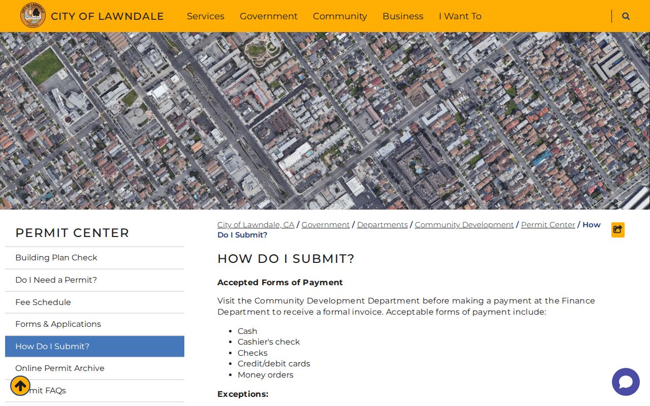
The city’s digital submission note is unusually practical for a street record request. Send an email to cdd@lawndale.ca.gov with the project address in the subject line. PDF plans and documents plus JPEG or PNG photos are accepted, the email limit is 25 MB, and the expected reply is one to two business days excluding closures. In-person submissions are accepted Monday through Thursday, and mail goes to Community Development at City Hall.
The permit submission instructions show the channel, format, payment, and turnaround details. Use the city’s CPRA form when an older archive entry is not exposed. The City Clerk is at 14717 Burin Avenue, Lawndale, CA 90260, 310-973-3200, cityclerk@lawndalecity.org; requests may be sent in person, by mail, fax, or preferably email.
The Lawndale Permit Center archive is the city source for address-based project history.
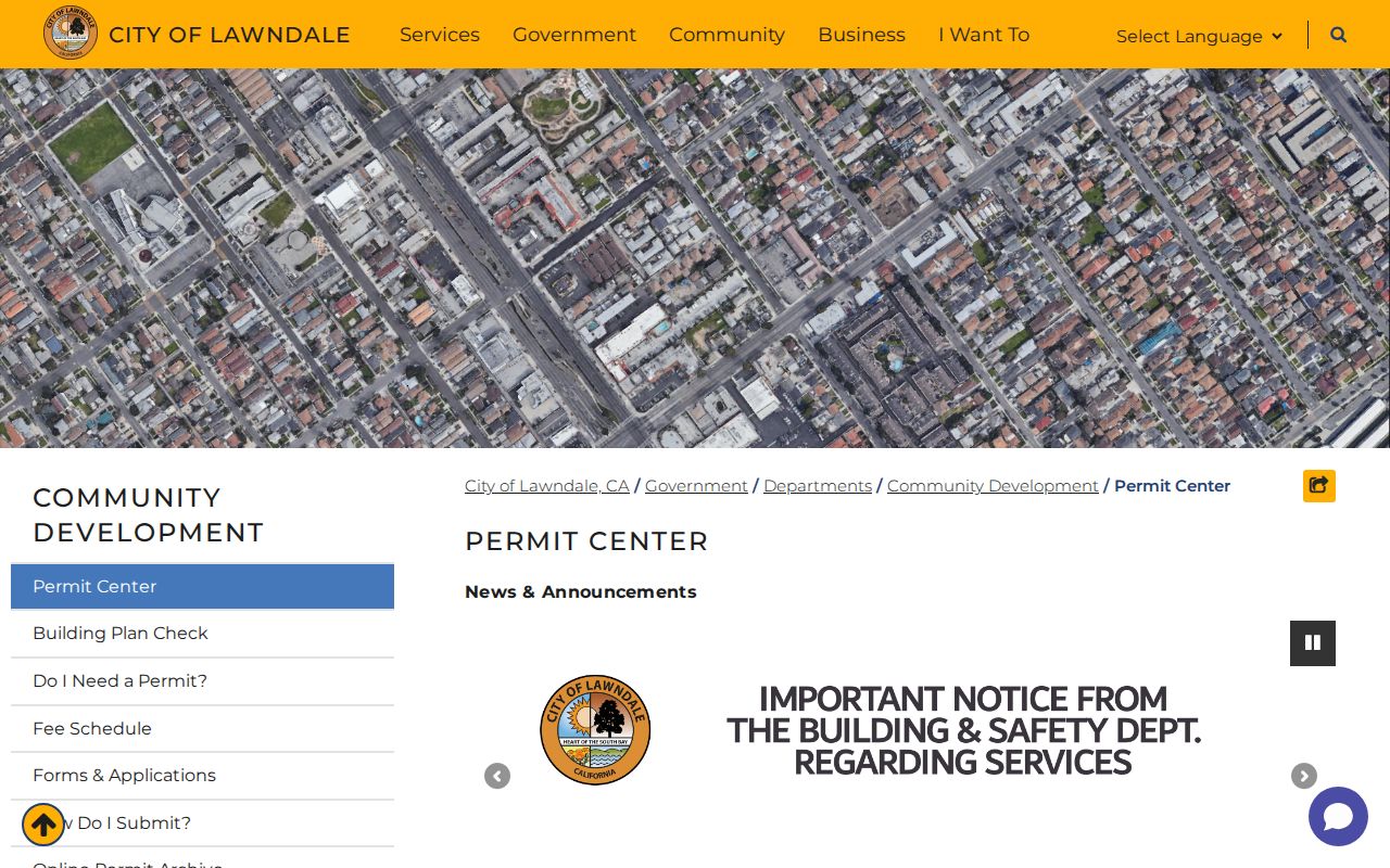
The archive view keeps the address in focus, which helps separate a parcel’s building history from the names found in deeds or directories.
The Lawndale permit submission page identifies the file formats and email path used for current project material.
Lawndale’s Historic Street Names Need a Bridge
Address search breaks when a familiar modern name is not the name printed in an older source. Lawndale Library opened on December 26, 1913, at Railroad Avenue and Market Street. That site is now associated with Hawthorne Boulevard and 147th Street. The pairing is a documented local bridge, not a reason to invent a citywide renumbering schedule. Search both pairs in early directories, newspapers, maps, and any deed description.
Lawndale incorporated on December 28, 1959. Material before incorporation is more likely to sit in county, school, postal, directory, census, and newspaper layers than in a modern City Hall file. Legal descriptions and tract or lot references can preserve continuity when street labels change. The county’s AIN and the LAPL directory title page should be recorded alongside the modern address.
The Lawndale Library supplies local newspapers, databases, reference help, and public computers. Its old Railroad and Market location gives an address researcher a concrete test case for name continuity. A quoted-address search may succeed only after the older terms are tried.
Lawndale 90260 and El Camino Village
90260 is the principal and only verified general-delivery ZIP for incorporated Lawndale, but it also reaches parts of unincorporated El Camino Village and postal addresses near municipal edges. El Camino Village is roughly 314 acres, built out, and inside Lawndale’s sphere of influence. Historically, it did not receive Lawndale city services. A postal line reading Lawndale, CA 90260 therefore cannot prove that a parcel is governed by the City of Lawndale.
Run the jurisdiction test before sending a permit or code question. Standardize the postal address, capture the Assessor situs and AIN, then inspect the city or community boundary layer. The LA County GIS-NET public tools are designed mainly for unincorporated territory and are especially useful around El Camino Village. Lawndale municipal channels remain the right route for an incorporated parcel.
The official Lawndale General Plan context report documents the ZIP and sphere relationship. Nearby postal areas include Hawthorne, Redondo Beach, Torrance, Gardena, and Manhattan Beach, but a border address must be checked individually. No verified Lawndale ZIP-wide resident list exists.
Lawndale Reverse Directories for Older Households
For historical occupants, an address-ordered directory is often a better tool than a modern name-first search. LAPL’s digitized Los Angeles-area city and street-address directories span selected volumes from 1875-1987 and can be searched by name or address. Central Library holds Los Angeles directories from 1873-1942 in paper and microfilm. Lawndale may appear in a South Bay, suburban, county, or neighboring-community section rather than in every volume titled Los Angeles.
A reverse or criss-cross directory turns the normal order around. Locate a street heading, read the number and listed occupant or telephone entry, then move to the alphabetical section for occupation or spouse clues. Digitized OCR can support a quoted-address search even when a formal reverse section is absent. Publisher abbreviations matter: “h” means home, “r” residence or rooms, “bds” boards, and “wid” identifies a widow followed by a deceased spouse’s name. These are publisher observations, not title proof.
Historic California voter registers from 1900-1968 can be searched through Ancestry Library Edition at a library, including an address in quotation marks. Census schedules are public through 1950 and can be paired with intervening directories. Daily Breeze and the Los Angeles Times historical archive, which LAPL lists from 1881-1996, can supply obituary, sale, civic, or address events. The Lawndale city directory collections page keeps the collection detail together while this street directory uses it as an address layer.
- Parcel
- A mapped unit of land identified by an AIN and legal description.
- Situs address
- The physical location of the parcel, distinct from a tax-bill mailing destination.
- Plat
- A recorded map or subdivision reference that can help tie an old lot to a modern parcel.
- Criss-cross directory
- An address-ordered directory that can reveal a listed occupant or telephone entry before a name search.
Lawndale Street Directory Privacy Boundaries
A Lawndale street directory must state its limits plainly. The property roll does not list every person who lives at a parcel. It cannot supply all renters, household members, DMV addresses, utility customer names, delivery records, or protected substitute addresses. A deed identifies a titled party and a directory identifies a listed occupant. Neither proves that every person in a multi-unit Lawndale building is present.
The LA County voter tool is a self-check, not a public street browser. California Elections Code section 2194 restricts voter-file access to approved governmental, election, scholarly, journalistic, or political purposes and withholds sensitive fields. The federal Driver’s Privacy Protection Act, 18 U.S.C. sections 2721-2725, protects DMV personal information. California Safe at Home supplies an eligible participant with a substitute mailing address and does not automatically erase older public documents.
Use names, addresses, and record clues for family history, reconnecting, property curiosity, civic research, or personal safety. Verify an important fact with the office that holds the underlying record. Do not turn address records into a surveillance list or use a public clue to contact, follow, threaten, or intimidate a living person.
Lawful use. Lawndale address records are for personal, lawful research and safe civic use. California stalking, criminal-threat, identity-theft, voter-file, and DMV privacy rules can apply when information is used to harm someone.
Lawndale Street Directory: Read Each Record
The most accurate Lawndale street directory result is a set of carefully labeled clues. “Owner” belongs to the Assessor counter or a recorded instrument. “Occupant” belongs to a directory, census, or other source that actually lists a person at the address. “Voter” means a self-check or a lawful restricted-file result. “Applicant” or “contractor” belongs to a permit record. “Neighbor” begins with an adjacent parcel, not an assumption about who lives there.
Keep the source date, exact spelling, unit count, AIN, legal description, and historic street name in your notes. If a result conflicts, return to the custodian rather than smoothing the conflict into a single name. Lawndale’s compact grid, multilingual surnames, two-surname naming, diacritics, and multi-unit parcels make that discipline more useful than a broad name match.
A record trail can answer a focused question without pretending to answer every question. That is the difference between a dependable by-address search and a misleading resident list.